Section
The National Oceanic and Atmospheric Administration confirms a Super El Niño has begun, with 2027 poised to become the planet’s warmest year on record.
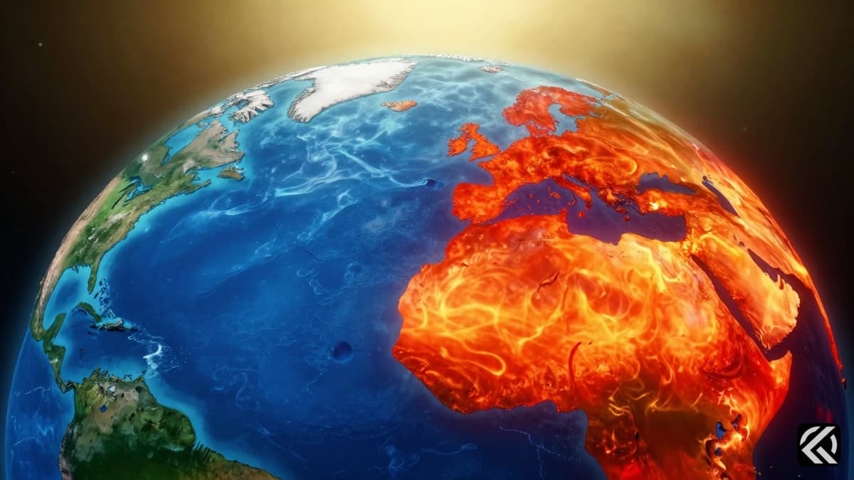
The National Oceanic and Atmospheric Administration (NOAA) announced Thursday that El Niño has officially begun, with forecasts predicting it will intensify into a historically powerful "Super" El Niño. This meteorological event is expected to trigger major shifts in global weather patterns and drive even hotter climate conditions worldwide.
The NOAA El Niño forecast indicates a 63 percent probability that this specific event will reach "very strong" status, potentially ranking as one of the largest El Niño events in the historical record dating back to 1950. The center has assigned 100 percent odds that the phenomenon will continue through the fall, with extremely high odds extending into the winter.
For an event to be classified as a Super El Niño, water temperatures in the tropical Pacific must exceed the average by more than 2 degrees. Current computer models suggest these thresholds will be greatly exceeded. Large volumes of unusually hot water have been moving from the western Pacific to the eastern tropical Pacific, driven by shifting winds. This hot water, located 600 to 1,000 feet beneath the surface, is now rising toward the sea surface near South America.
While Super El Niño events like those in 2015-16, 1997-98, and 1982-83 are relatively rare, their climate implications are severe. The transfer of massive heat energy from the ocean to the atmosphere boosts global average surface temperatures. This natural phenomenon combines with human-caused warming from fossil fuel pollution, virtually guaranteeing that 2027 will eclipse 2024 to set a new record for the planet’s warmest year.
The El Niño climate impacts extend far beyond temperature records, tilting the odds toward various weather extremes including heat waves, flooding, and droughts depending on the region. In the United States, these impacts are most evident during the winter months.
In the northern hemisphere, warmer-than-average conditions are typical from the northern US to western Canada and Alaska, though periods of colder weather may still occur. The southern tier of the US often experiences wetter and cooler conditions as a more active jet stream steers storms across the region. California may see more frequent atmospheric river events as the moisture-laden jet stream crashes ashore, although predicting exactly which parts of the state will bear the brunt remains difficult.
Hurricane activity is also significantly altered. While El Niño tends to limit the number of hurricanes in the Atlantic, it can supercharge the central and eastern Pacific hurricane season. This dynamic could spell trouble for the Southwest US and Hawaii, depending on where individual storms track. Stronger El Niños like the current one increase the likelihood of these specific hurricane pattern shifts.
Internationally, the effects are widespread and severe. Regions such as Australia and Indonesia are prone to drought and heat waves during El Niño events, leading to wildfires and water supply concerns. In India and southeast Asia, monsoon rains are typically reduced in the summer, with signs of this reduction already apparent. This lack of precipitation can exacerbate summer heat extremes.
The Caribbean often sees drought during El Niño periods. Meanwhile, warm and dry winters are typical in parts of southern and eastern Asia. Drought conditions could expand in Southeast Africa during the Southern Hemisphere summer from December to February. Conversely, areas closer to the Horn of Africa might experience flooding rains between October and January.
In South America, the effects are varied by region. A portion of southeastern South America is prone to heavier rainfall, while southeastern Brazil sees hotter than normal conditions. A swath of northern South America extending into parts of Central America tends to be drier than average from July through December. Northwestern South America, including Peru, is prone to heavy rainfall from January through May due to its proximity to unusually hot ocean waters.
Beyond weather, El Niño events can lead to widespread marine heat waves and coral bleaching, given corals' sensitivity to higher ocean temperatures. These marine heat waves also influence regional weather patterns. Economically, studies show that strong El Niños can reduce countries' economic growth through disaster losses and food supply disruptions.
This Super El Niño presents a unique challenge because it is occurring while the world is already significantly hotter than average due to global warming. There is an extra dose of uncertainty regarding how this existing heat will amplify El Niño-related extreme weather events. Since there has never been a Super El Niño against such a warm background climate, the full scope of impacts remains unpredictable. However, the combination of natural variability and anthropogenic warming suggests a continued trajectory of intense climate instability and record-breaking temperatures in the coming years.
Jun 11, 2026 17:21 UTC
Bangladesh Opposition Mobilizes Against India-Bangladesh Border Push-Ins and BSF Killings
Join 50,000+ readers getting the global briefing every morning.
No spam. Unsubscribe anytime.
Jun 11, 2026 17:40 UTC
Boelter Pleads Guilty in Minnesota Political Assassinations
Jun 11, 2026 17:21 UTC
Bangladesh Opposition Mobilizes Against India-Bangladesh Border Push-Ins and BSF Killings
Jun 11, 2026 17:21 UTC
John Healey Quits as UK Defence Secretary Over Funding Dispute
Jun 11, 2026 16:19 UTC
UK Defence Secretary John Healey Quits Over Funding Dispute


