Section
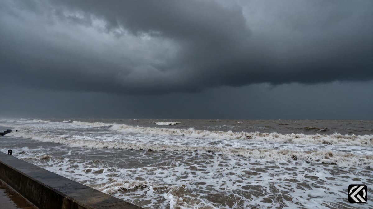
A deep depression over the Bay of Bengal has triggered a red alert in southern Odisha, forcing school closures and strict evacuation protocols across 11 districts.
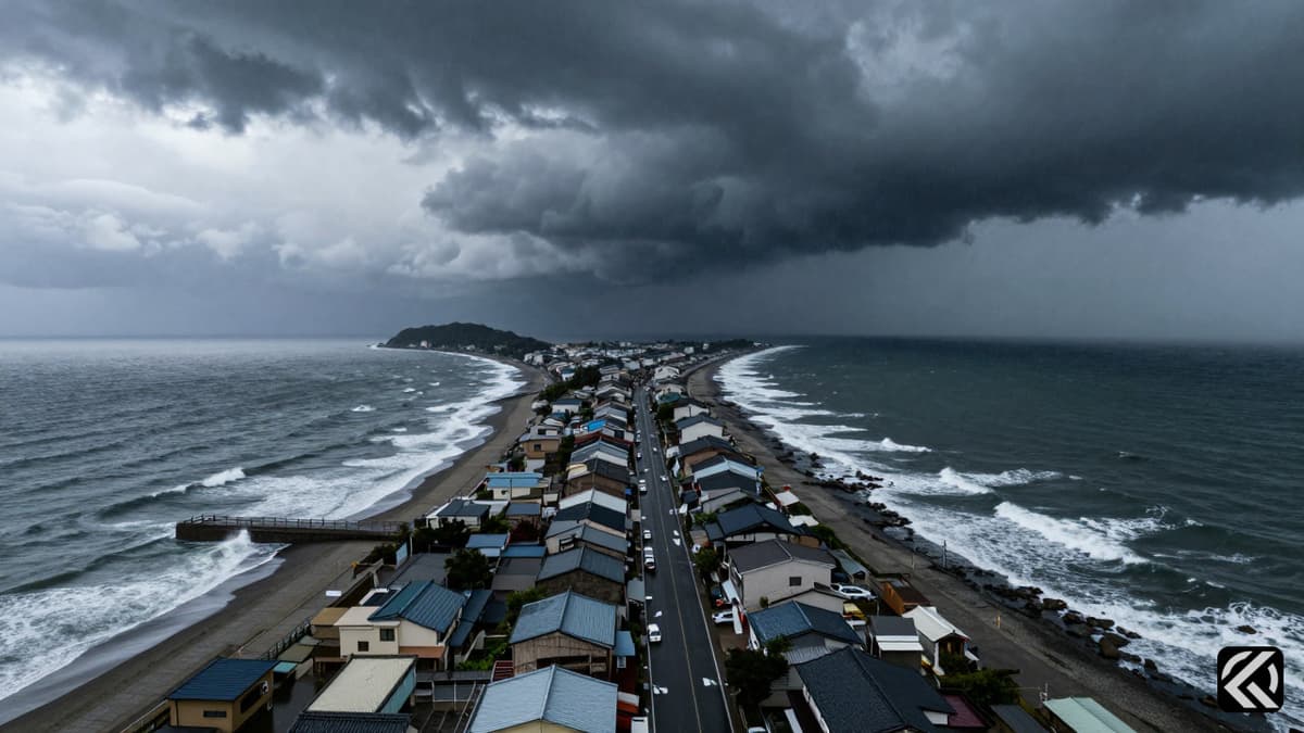
The India Meteorological Department (IMD) has issued urgent warnings for heavy to very heavy rainfall in southern and coastal Odisha as a weather system over the Bay of Bengal intensifies. While social media speculation has sparked questions about a potential Cyclone Arnab, authorities clarify that the current system is a depression expected to become a deep depression, not a cyclone. This meteorological clarification comes as district administrations across the state prepare for significant weather impacts, including urban flooding, landslides, and mudslides.
The weather system, currently located over the west-central and adjoining northwest Bay of Bengal, is positioned approximately 220 km from Odisha’s Gopalpur and 320 km from Visakhapatnam in Andhra Pradesh. According to the IMD, the system is expected to move west-northwestwards and intensify into a deep depression within the next 12 hours. It is projected to cross the north Andhra Pradesh-south Odisha coasts between Visakhapatnam and Gopalpur during the night of September 23 and the early hours of September 24.
Despite the ominous weather patterns, officials have moved quickly to dispel rumors regarding the naming of the storm. Arnab is not the name of the current depression but is the next unused name in the predetermined list of tropical cyclone names for the North Indian Ocean. This list is maintained under the WMO/ESCAP Panel on tropical cyclones, with names contributed by member countries. Arnab was contributed by Bangladesh and appears in the roster after names already used in the current sequence. A system only receives a cyclone name after reaching the required intensity. Since the IMD expects the present Odisha system to become a deep depression rather than a cyclone, it will not be named Arnab unless it strengthens further in a future timeline.
The heavy rain triggered by the depression has already lashed coastal and southern Odisha on Tuesday, prompting immediate responses from local authorities. District administrations have ordered the closure of schools and anganwadi centers in several areas. Specifically, schools were closed for the day in Khurda, Jagatsinghpur, Ganjam, and Gajapati. In Malkangiri, schools have been ordered to remain closed until September 24. Anganwadi centers in the affected areas will also remain closed.
However, to ensure preparedness, teachers and other staff have been asked to report to schools. Principals have been instructed to maintain roster duties so that the buildings remain accessible round the clock in case of an emergency. The National Rural Talent Scholarship examination scheduled for Tuesday will be held as planned at designated centers, indicating that while most educational activities are halted, critical assessments continue with strict safety protocols.
Odisha Chief Secretary Anu Garg stated that collectors of 11 districts have been put on high alert following the IMD warning of heavy to very heavy rainfall in the southern and coastal parts of the state. Authorities have kept cyclone and flood shelters ready and are preparing for possible waterlogging, urban flooding, landslides, and mudslides. In a move to ensure bureaucratic availability during the crisis, government employees' leave has been cancelled in Ganjam, Koraput, and Kalahandi. Furthermore, teachers in Koraput and Kalahandi have been directed not to leave their places of posting until September 25.
Vehicular movement has been restricted on some roads, including the Kalinga Ghat between Ganjam and Kandhamal, to prevent accidents during heavy downpours. Ferry services between Satapada and Jahnikuda in Chilika Lake will also remain suspended until September 25. These measures reflect the severity with which the state government is treating the incoming weather event, prioritizing public safety and infrastructure protection.
The IMD has issued a red alert for parts of southern Odisha from September 23 to 25. Koraput, Gajapati, and Ganjam are likely to receive heavy to very heavy rain, with extremely heavy rain at isolated places, on September 23 and 24. Kalahandi, Nabarangpur, Koraput, and Malkangiri are under red alert for September 24 and 25. Rainfall is expected to continue in parts of the state until September 25.
In addition to precipitation, meteorological conditions will include squalls with winds gusting up to 75 kmph. These squalls are likely along and off the south Odisha-north Andhra Pradesh coasts from the morning of September 23 to the evening of September 24. The combination of heavy rainfall and strong winds increases the risk of damage to power lines, trees, and temporary structures, necessitating the strict alerts and travel bans currently in place.
The current meteorological situation requires sustained vigilance from both the government and the public in Odisha. With the IMD predicting continued rainfall and strong winds across multiple districts, the state is bracing for potential disruptions to daily life and transportation networks. While the immediate threat is a deep depression rather than a named cyclone, the intensity of the rainfall and the subsequent risk of landslides and flooding remain high. Authorities have deployed significant resources to manage the crisis, from school closures to the suspension of ferry services. As the system moves closer to the coast, residents in the red-alert districts are urged to adhere to official advisories, avoid unnecessary travel, and remain in safe zones to mitigate the risks associated with this severe weather event.
Oct 3, 2026 04:08 UTC
FlyDubai Co-Pilot Banned in Oman Over Extremism Concerns
Oct 3, 2026 00:50 UTC
Israel-Mumbai Campaign Honors Captain Smit After Flydubai Incident
Oct 2, 2026 18:13 UTC
Captain Smit Machchhar’s Courage Saves Flydubai Flight FZ1073 From Disaster
Oct 2, 2026 16:45 UTC
Captain Smit Machchhar Saves Plane Mid-Fall
Oct 3, 2026 06:56 UTC
Supreme Court Hears Cases on Guns, Voting Rights, and Climate