Section
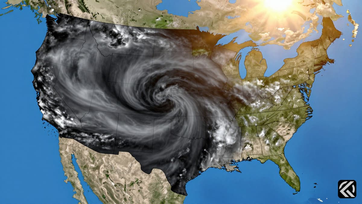
A historic Super El Niño is rapidly intensifying, poised to redefine American winter weather patterns with significant risks for storms and temperature shifts across the nation.
The burgeoning Super El Niño is rapidly intensifying, poised to exert major implications for winter weather across the United States. This powerful climate phenomenon is not only forecast to reach its peak strength during the winter season but will also have its most pronounced influence on global weather patterns at this time.
As the event strengthens, forecasters note it could become a Super El Niño no later than October, with nearly a 70% chance by year-end of becoming the strongest on record. This potential intensity is described by experts as unusual, possibly a once-in-a-lifetime strength level, according to Nat Johnson, a meteorologist with NOAA’s Geophysical Fluid Dynamics Laboratory.
El Niño is a natural climate cycle defined by warmer-than-average water temperatures along the equator in the Pacific Ocean. These warmer waters trigger atmospheric shifts that create domino-like effects on weather patterns globally, often allowing for predictable outcomes well in advance. The stronger the El Niño, the more likely these expected patterns are to materialize.
However, NOAA emphasizes that a historically strong El Niño does not guarantee historically intense weather impacts. Instead, it increases the probability that certain weather patterns will unfold. For the United States, this typically involves the jet stream-the river of air guiding storms-shifting south of its normal position into the southern tier of the country.
Consequently, southern portions of the US usually see more storms, along with wetter and cooler weather. Conversely, northern regions tend to become drier and warmer. This means snow-loving areas in the Northeast typically experience less snow on average during strong El Niño winters. Meanwhile, the Southeast and parts of the southern Plains may face a cooler trend with increased precipitation, setting the stage for potential snow, sleet, or freezing rain, depending on how cold temperatures drop.
Severe thunderstorms also see shifts. While they normally peak in spring, activity often rebounds near the Gulf Coast from late fall to early winter. El Niño places Florida at a particularly higher risk for these storms during the winter months. In contrast, other parts of the Gulf Coast become less active than usual, according to Michael Tippett, a climate scientist at Columbia University.
Looking ahead, NOAA’s Climate Prediction Center provides early indications for the December through February period. Temperature and precipitation forecasts show hallmarks consistent with El Niño influence. The highest probabilities for above-average temperatures stretch across the entire northern tier, including the Pacific Northwest and the Midwest. Notably, warmer-than-normal temperatures are possible over more than half of the Lower 48 states.
It is crucial to recognize that El Niño cannot be blamed for every weather anomaly. A world warming due to fossil fuel pollution is always a contributing factor. Winter is the fastest-warming season for most of the US, according to an analysis from the non-profit research group Climate Central. This ongoing warming has already impacted snowfall, with annual snow amounts dropping in nearly two-thirds of the US since 1970.
Precipitation trends for this atypical El Niño also bear its watermark. Wetter-than-normal weather is possible for a wide expanse of the US, including Southern California, the entire southern tier states, and even the East Coast. The highest confidence in these wet conditions is currently centered on the Southeast.
Areas forecast to be drier than normal are not perfectly in sync with El Niño but are confined to the northern tier, where hotter temperatures are expected. This combination of hot and dry conditions makes snow production unlikely. While only time will tell the exact wintry nature of the upcoming season, the El Niño El Niño climate impact will almost certainly be a main player alongside the broader context of our warming climate.
The interplay between this potentially record-breaking Super El Niño and the broader context of global warming suggests a complex winter ahead. While the jet stream's southward shift brings wetter and cooler conditions to the southern tier, the overarching trend of winter being the fastest-warming season means that precipitation may fall as rain more often than snow, even in traditionally cold regions. For the northern tier, the forecast points to significantly warmer and drier conditions, reducing the likelihood of heavy snowfalls. As the event matures toward its peak in October and beyond, the cumulative effect of these natural cycles and anthropogenic climate change will dictate the severity of weather events. Communities in the Southeast and Gulf Coast should prepare for potential freezing rain and thunderstorms, while northern states should brace for a milder, drier winter. The long-term implication is a continued shift in historical weather baselines, where the definition of "normal" winter weather is increasingly altered by the combined forces of El Niño and rising global temperatures.
Oct 3, 2026 04:08 UTC
FlyDubai Co-Pilot Banned in Oman Over Extremism Concerns
Oct 3, 2026 00:50 UTC
Israel-Mumbai Campaign Honors Captain Smit After Flydubai Incident
Oct 2, 2026 18:13 UTC
Captain Smit Machchhar’s Courage Saves Flydubai Flight FZ1073 From Disaster
Oct 2, 2026 16:45 UTC
Captain Smit Machchhar Saves Plane Mid-Fall
Oct 3, 2026 06:56 UTC
Supreme Court Hears Cases on Guns, Voting Rights, and Climate