Section
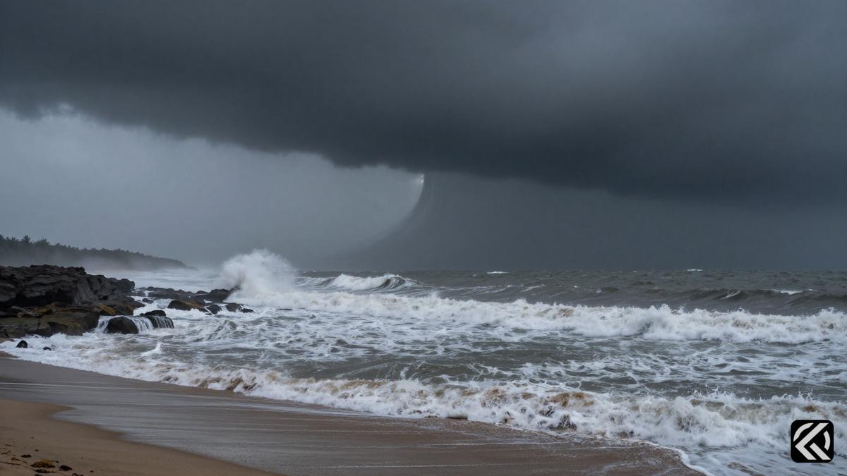
Andhra Pradesh braces for a major weather event as meteorological agencies track Cyclone Akvan’s projected path toward central coastal regions over the coming days.
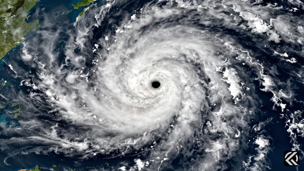
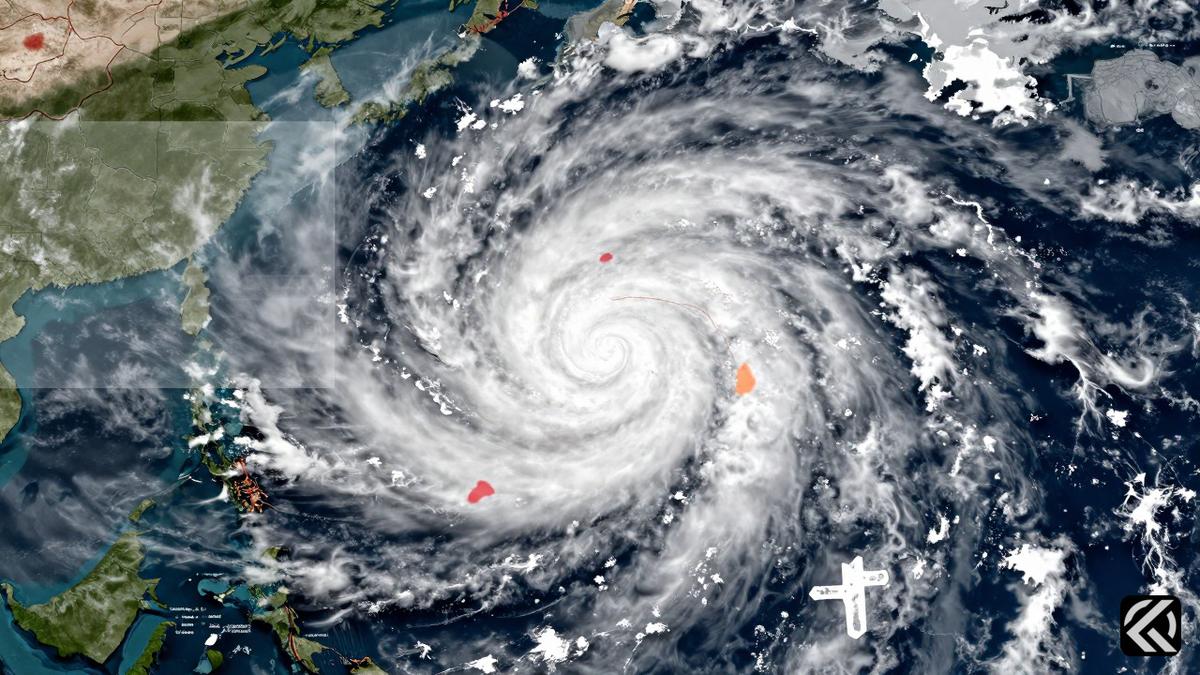
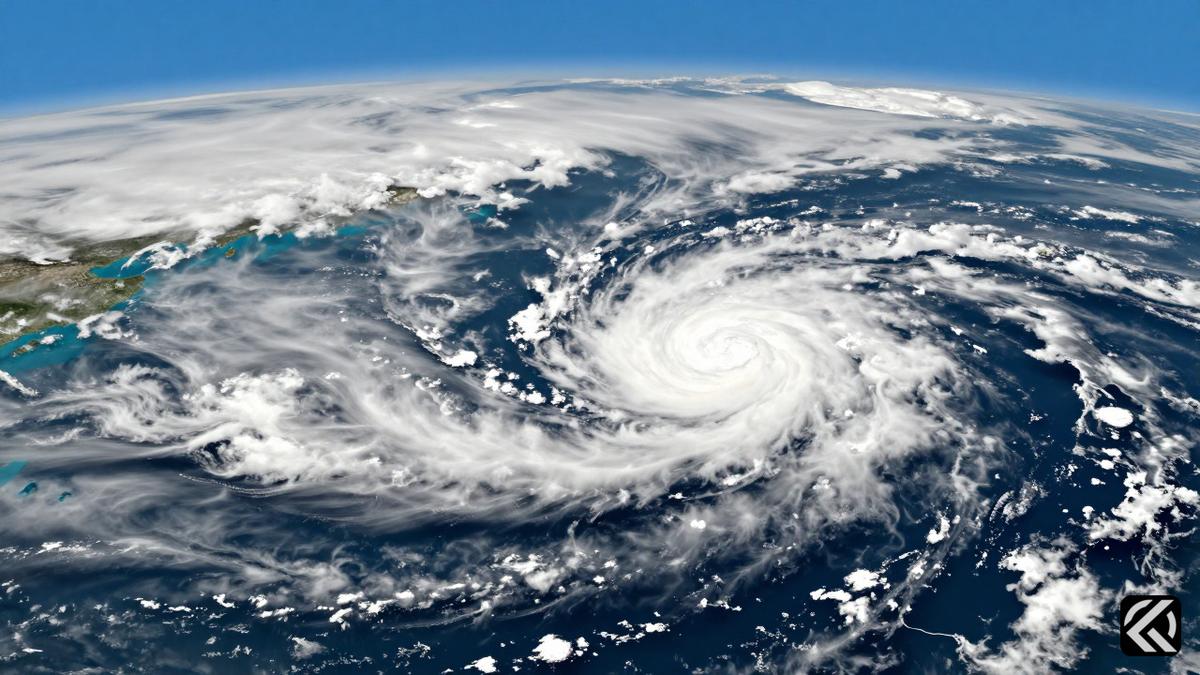
The India Meteorological Department (IMD) has forecast that Cyclone Akvan will likely make landfall on the Andhra Pradesh and Yanam coasts between Nellore and Tuni by noon on November 20, 2026. Initially expected to form over the Bay of Bengal on Monday evening, the system has intensified into a deep depression and is now tracked as a very severe cyclonic storm approaching the central coastal regions.
The storm’s trajectory has shifted from earlier predictions targeting north coastal Andhra Pradesh to a current projection focusing on central and south coastal zones. This leaves approximately 500 kilometers of coastline, or nearly half of Andhra Pradesh’s 1,053-km shoreline, within the potential impact zone, with Machilipatnam situated roughly in the middle. The depression over the southeast Bay of Bengal concentrated into a deep depression by the early hours of Monday, November 16, moving north-northwestwards at 6 kmph. As of 8:30 a.m., the system was centered about 630 km east-northeast of Trincomalee, Sri Lanka, and 800 km south-southeast of Visakhapatnam, Andhra Pradesh.
The IMD projects that the system will intensify into a cyclonic storm over the central parts of the south and west-central Bay of Bengal by Monday evening, followed by a severe cyclonic storm by Tuesday evening, November 17. It is then likely to intensify further and move west-northwestwards toward the coast. Squally weather with wind speeds touching 50-60 kmph may begin along the coast from Monday, gradually increasing to gale force as the system strengthens. Sea conditions are expected to be rough to very rough until November 17, after which they will worsen significantly.
The IMD has issued a pre-cyclone watch for the Andhra Pradesh and adjoining south Odisha coasts. Moving north-northwestward at 8 kmph, the system is projected to reach near the Andhra Pradesh coast around the night of November 19 as a very severe cyclonic storm. A meteorologist noted that while current atmospheric steering points towards the coastal stretch between north Andhra Pradesh and south Odisha, it is too early to definitively predict the exact landfall point.
District administrations have been placed on high alert, and a complete suspension of offshore operations has been advised. Fisheries Joint Director L.B.S. Vardhan highlighted the economic stakes, noting that Cyclone Arnab caused damage worth ₹307 lakh to fisheries in Visakhapatnam district, with ₹123 lakh in partial damage and ₹184 lakh in full damage. No damage was recorded during Cyclone Murasu. Fishermen’s leader Arjili Dasu emphasized that recurring weather disruptions have already crippled livelihoods during Karteeka Masam, a period when fish sales typically slump. Consequently, fishermen have been explicitly told not to venture into the sea until November 20.
The potential landfall zone includes Krishna district, which contains Machilipatnam. This area has a history of devastating cyclones, including the infamous 1977 Diviseema cyclone. However, the district was spared much of the damage during recent storms Arnab and Murasu, which made landfall near Narsapur and Ongole, respectively. The shift in the projected path from northern to central and southern coastal Andhra Pradesh marks a significant change in forecast models. Weather experts continue to monitor the system closely, acknowledging that the course may yet change.
Andhra Pradesh is now preparing for the arrival of Cyclone Akvan, which is expected to bring dangerous wind speeds and rough seas to the central coast. The IMD’s latest bulletins indicate a clear trajectory toward the Nellore-Tuni stretch, urging authorities to finalize evacuation plans if necessary. Given the historical vulnerability of the Krishna district and the economic reliance on fisheries, the suspension of marine activities is a critical precaution. While the exact landfall point remains fluid, the potential for severe damage to infrastructure and livelihoods is high. Authorities are advised to maintain strict monitoring as the storm intensifies in the coming days, ensuring that safety protocols are robust enough to handle gusts reaching 145 kmph. The region’s past experiences with storms like Arnab and Murasu provide a baseline for expected impacts, but the current system’s trajectory towards the densely populated central coast raises the stakes for emergency response teams and local residents alike.
Nov 17, 2026 16:45 UTC
US Intel Warns of Iran Dirty Bomb Plot in DC
Nov 17, 2026 12:48 UTC
Quad Summit Manila: Modi, Trump Focus on Indo-Pacific Security
Nov 17, 2026 10:43 UTC
Ukraine Strike Collapses Crimean Bridge Ahead of Diplomatic Talks
Nov 16, 2026 16:25 UTC
Beijing Claims Historic Significance for Trilateral Talks in Shenzhen
Nov 16, 2026 18:23 UTC
Cyclone Akvan: Storm System Intensifies Toward Andhra Pradesh